
The Role of Geolocation Data in Regional Construction Cost Estimation
Not all construction projects are priced the same.
The same building can cost a lot more in one city than another. That’s because location affects everything—labor, materials, logistics, and even permits.
This is where geolocation data comes in. It helps builders and estimators plan smarter.
By using accurate, location-based data, teams can better understand costs before they build.
In this blog, we’ll break down what geolocation data is, why it matters, and how you can use it to improve your cost estimates with BidLight.

What is Geolocation Data in Construction?
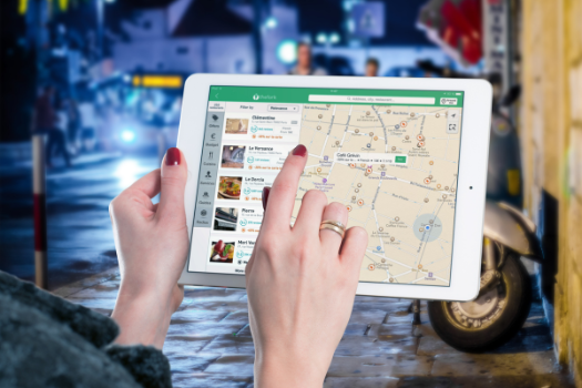
Geolocation data tells you where things are—and what’s around them.
In construction, it includes site coordinates, terrain info, access points, and nearby infrastructure.
It also covers regional market data like average wages, supplier availability, and material delivery routes.
Today, it’s easier than ever to collect this kind of data. Satellite maps, GIS tools, and location-based cost libraries make it accessible.
When plugged into a cost estimating tool, geolocation data becomes powerful. It adds local context to every number in your budget.
That means your cost plans are no longer based on broad averages. They’re built on real, local data that fits the actual site.
How Location Changes Construction Costs
Different cities. Different rules. Different prices.
Here are the biggest ways location affects your estimate:
Labor costs: A carpenter in New York earns more than one in Kansas.
Material costs: Steel or concrete prices change by region, especially with supply chain delays.
Transportation: If the site is remote, delivery costs go up.
Weather and terrain: Harsh weather or hilly land can increase prep work.
Local codes: Some areas require extra permits or inspections.
Subcontractor availability: If subs are scarce, they charge more.

Even within the same state, prices can swing depending on urban vs. rural zones.
Ignoring these differences can lead to budget misses and lost bids.
That’s why top estimators use tools that consider local pricing and regional variables.
Geolocation data gives them the edge.
How to Use Geolocation Data in Your Estimates
Using geolocation data in estimating doesn’t have to be hard. Here’s how smart teams do it:
Step 1: Pin the Project Location
Start by locking in the exact project site. Even a zip code helps.
Step 2: Pull Local Data
Use cost libraries or tools (like BidLight) that pull real, up-to-date regional pricing.
Step 3: Factor in Local Labor Rates
Make sure your labor rates match the local market.
Step 4: Adjust for Site Conditions
Look at the site’s terrain, weather, access, and nearby resources.
Step 5: Compare to Past Projects in the Area
Historical local projects help validate your estimate.

Once you start working this way, your bids get sharper.
You’ll win more work—without losing money from cost surprises.
Benefits of Location-Based Estimating
Using geolocation data helps you build smarter. Here’s how:
More accurate budgets
You estimate based on facts, not guesswork.
Fewer surprises
No more missing key regional cost factors.
Better risk planning
Know the challenges before stepping on site.
Stronger bids
Your numbers make sense to the client—and to your bottom line.
Saves time
No need to dig through multiple sources. The data is all in one place.
In short, geolocation data helps you plan better, bid better, and build better.
How BidLight Helps with Location-Based Costing
BidLight makes geolocation-powered estimating easy.
When you enter a project address, BidLight pulls local data for you. Labor rates, materials, weather risks—everything is factored in.
You can compare regional benchmarks, use past project insights, and tweak costs based on real-world location factors.
No spreadsheets. No outdated pricing. Just clean, accurate numbers from the start.
It’s the smarter way to estimate.
Conclusion: Don’t Guess—Get Local
Location impacts everything in construction.
With geolocation data, you’re not just estimating—you’re planning with precision.
Use it to avoid budget gaps, win better jobs, and boost profits.
BidLight helps you bring that data to life, every time.
Know where you’re building—and know what it’ll really cost.