BIM and Construction Drones: Revolutionizing Site Management
Introduction
The construction industry is undergoing a major shift, driven by digital transformation and advanced technologies. Among these innovations, Building Information Modeling (BIM) has become a key tool in construction project management, helping teams visualize and plan projects in detail. BIM’s digital models contain vital project data, improving project tracking, resource allocation, and collaboration across teams. However, as construction sites grow more complex, another technology is enhancing the power of BIM—drones. These flying data-gathering tools can capture high-resolution images and real-time data of a site, giving project managers a clearer view of on-site progress and challenges.
In this blog, we’ll explore how combining BIM and drones is revolutionizing site management. Drones add an unmatched layer of accuracy, providing live updates that integrate directly into BIM, enabling faster and safer decision-making. Together, these tools help improve construction productivity and project workflows by delivering real-time tracking, enhancing risk management, and enabling more streamlined, data-driven construction planning.
The Power of BIM in Modern Construction
Building Information Modeling, or BIM, is transforming the way construction projects are managed. At its core, BIM creates highly detailed, data-rich digital models of construction projects that serve as a reliable source of truth. These models contain crucial information—from design and materials to scheduling and cost estimation—that is accessible to everyone on the project. By centralizing this information, BIM improves collaboration among teams, as architects, engineers, and contractors all work from the same updated data, which reduces misunderstandings and keeps everyone aligned on project milestones.

BIM's digital models also play a key role in minimizing errors. By allowing project teams to visualize and simulate each phase before actual construction begins, BIM helps identify potential problems early, saving time and preventing costly rework. Beyond improving accuracy, BIM also optimizes project costs by supporting better resource allocation and project tracking. When combined with drone technology, BIM’s effectiveness is amplified, as real-time data from drones can be seamlessly integrated into these digital models. This integration makes BIM an indispensable tool in construction site management, offering a comprehensive, clear, and cost-effective approach to modern project execution.
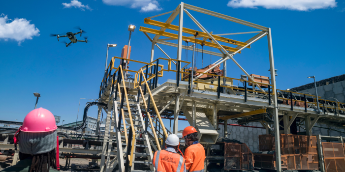
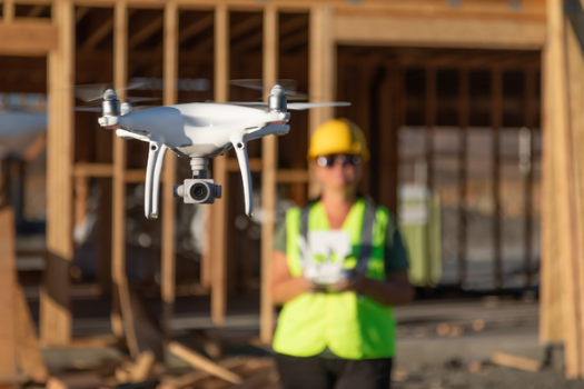
Drones in Construction: A Game Changer for Site Management
Drones are revolutionizing construction site management by offering unparalleled advantages in data collection and site monitoring. Equipped with high-resolution cameras and advanced LiDAR sensors, drones capture precise, high-quality data from the ground up. This data is crucial for creating accurate 3D models of the construction site, giving project managers a real-time overview that traditional surveying methods simply can’t match. By quickly flying over large areas, drones can map an entire site in minutes, delivering detailed images and point clouds that reflect exact site conditions.
Beyond efficiency, drones bring a new level of accuracy and consistency to progress tracking and inspections. They provide a clear, bird’s-eye view of the project, making it easy to spot issues or changes from the original plans. With the ability to collect data from difficult or hazardous areas, drones also enhance safety by reducing the need for personnel to enter risky zones for manual inspections. This automated monitoring improves not only the speed of data collection but also the safety and consistency of site evaluations.
Integrating this data into BIM systems creates a dynamic resource for construction teams, updating models in real-time to reflect ongoing progress. This seamless integration allows for better project tracking, enhanced risk management, and more precise task management. Drones, therefore, have become an essential tool in modern construction, setting a new standard for site efficiency, safety, and data-driven decision-making.
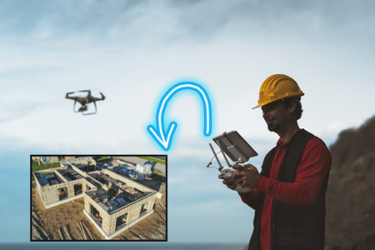
Enhancing Data Collection with Drone and BIM Integration
Drones have transformed data collection in construction by providing precise, high-resolution site data faster than ever. With their ability to fly over complex landscapes and capture site details in real-time, drones collect highly accurate information that traditional methods would take days to gather. This data includes 3D images, terrain maps, and point clouds that allow project managers to see the exact conditions on-site, helping them make informed decisions without delays. These detailed data sets enable construction teams to update project information quickly, leading to a more streamlined and accurate workflow.

When integrated with BIM, the data collected by drones becomes a dynamic part of the project’s digital model. This constant data feed ensures that BIM models are always up-to-date with the latest site conditions, providing a clear and accurate picture at every stage of the project. As a result, teams can use this integrated data to plan in greater detail, control project workflows better, and allocate resources more effectively. This integration also allows teams to spot potential issues early—such as deviations from the design or unexpected site changes—before they turn into costly problems. The combination of drone data and BIM creates a powerful tool for project tracking, improving construction scheduling, and reducing the risk of delays. By enhancing data collection, this integration ultimately leads to smoother project execution and greater construction efficiency.
Real-Time Monitoring and Project Insights
Real-time monitoring with drones gives project managers a constant, accurate view of site progress, making it easier to keep construction on track. Drones provide live data feeds that capture up-to-the-minute details about the project, from the layout and structure to any immediate changes on-site. These continuous updates allow project managers to identify bottlenecks or delays early, giving them the insight needed to make fast, informed decisions to avoid disruptions. This visibility also enhances risk management by highlighting safety concerns or potential issues before they become larger problems.
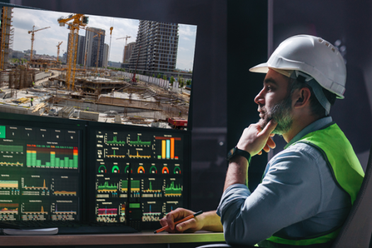
When combined with BIM, real-time drone data becomes even more powerful. Project managers can overlay this live data onto digital BIM models, gaining a dynamic, integrated view of the project’s progress compared to the planned schedule. This integration allows for proactive adjustments in resource allocation, task management, and project milestones, ensuring that all teams stay aligned. By merging real-time monitoring with BIM, construction companies gain a valuable tool for maintaining construction efficiency, improving project tracking, and supporting informed decision-making throughout the project lifecycle.
Improving Safety and Reducing Risks on Construction Sites
Drones play a significant role in enhancing safety on construction sites by performing tasks that would typically require workers to enter hazardous areas. Equipped with high-resolution cameras and sensors, drones can survey hard-to-reach or high-risk locations, such as rooftops, scaffolding, and unstable terrain, without putting anyone in harm’s way. By capturing this critical site information remotely, drones reduce the need for personnel to conduct manual inspections in potentially dangerous spots, lowering the risk of accidents and injuries.

This capability also strengthens risk management across the project. When the data collected by drones is fed into BIM models, it provides an up-to-date view of any hazards on-site. With this information, project managers can address safety concerns proactively, improving site planning and minimizing unexpected risks. This integration of real-time drone data into BIM allows for safer, more informed decision-making, ultimately creating a more secure environment for everyone involved in the construction project.
Future of Site Management with BIM and Drones
The future of site management with BIM and drones holds exciting possibilities. As technology advances, integrating AI and machine learning into these tools will push site data analysis and predictive insights to new levels. AI can process vast amounts of drone-captured data, identifying patterns and forecasting potential issues before they arise. This capability will enhance construction workflows, making project tracking and risk management even more precise and proactive.
The synergy of BIM and drones represents a transformative shift in how construction projects are managed. By combining detailed digital models with real-time, high-resolution data, these technologies improve accuracy, efficiency, and safety across the entire project lifecycle. As the construction industry embraces these innovations, site management will continue to evolve, setting new standards for productivity and precision.</p>